
Introduction: Sell the Neighbourhood, Not Just the Building
Marketing a development before it’s built is hard. Buyers can’t walk the site, and a single façade image only tells part of the story.
Most buyers and investors want to know more than what the building looks like. Where’s the nearest park? How do you get to the train? What’s across the road? How does this building relate to the others on the site?
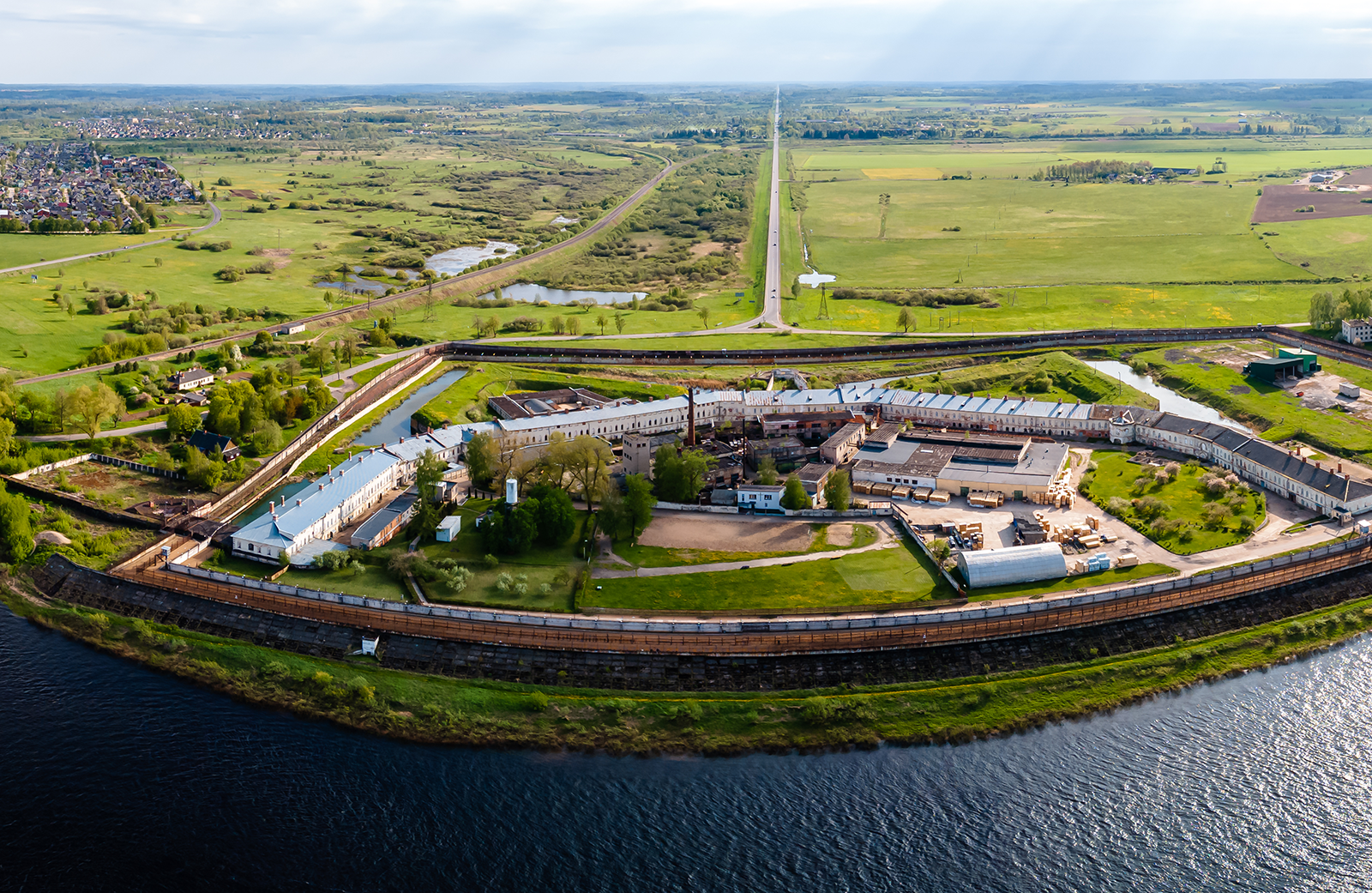
Aerial 3D rendering answers those questions in one image. From above, people can see the development, its setting, and the neighbourhood around it all at once.
Here’s how it works, and how developers use it for marketing, investor presentations, and launches.
What Is Aerial 3D Rendering?
Aerial 3D rendering is a digitally created bird’s eye view of a proposed development and its surroundings.
It combines the development model with the things around it: roads, landscaping, neighbouring buildings, and site boundaries. The result shows the project in place, as if you were looking down from a drone.
It’s different from a technical site plan. A site plan gives formal project information, such as setbacks, levels, and dimensions. An aerial render communicates the development visually, so anyone can understand it at a glance.
Think of it as a form of 3D site visualisation made for people who don’t read drawings.
Why Neighbourhood Context Sells Property Developments
People rarely buy a building in isolation. They buy a location, a lifestyle, and a community.
Aerial imagery can show the things that shape that decision. Access roads and how you get in and out. Green spaces and walking paths. Nearby shops, schools, and transport. Where each building sits, what shared facilities are on offer, and how everything fits together across the site.
This is especially useful for masterplanned communities, apartment complexes, mixed use developments, and large residential projects. In these cases, a single front elevation can’t explain the layout. An aerial view can.
The wider context helps viewers understand the lifestyle on offer, rather than judging the property from one exterior shot.
One caution: nearby amenities and future infrastructure should be shown accurately. If a park, station, or shopping centre is only proposed, it shouldn’t be presented as if it already exists.
What Makes an Effective Aerial Architectural Rendering?
A good aerial architectural rendering is both attractive and informative.
It starts with a clear camera angle and a site layout people can recognise. Balanced lighting, realistic materials, and detailed landscaping make the scene believable. Roads should be easy to read, and the surrounding context should feel right for the area. Shadows should fall naturally, so the scene never looks like a toy model.
The main development needs to stay the focus, but the wider neighbourhood shouldn’t look empty or overly crowded.
Camera height and direction matter too, and they should suit the scale of the project. A closer aerial angle may work best for an apartment complex, where you want to see rooftops, courtyards, and balconies. A wider, higher view may better explain a large residential estate, with its streets, parks, and future stages.
Clarity beats detail. Every element should earn its place.
What Should an Aerial View Render Include?
Every project is different, but an aerial view render usually draws from these elements:
- The development: building footprints, heights, roof forms, and overall arrangement.
- Landscaping and open space: parks, gardens, communal courtyards, and pedestrian areas.
- Access and circulation: roads, driveways, paths, parking, and entry points.
- Surrounding context: neighbouring buildings, streets, and relevant nearby amenities.
- Lifestyle features: pools, playgrounds, recreation areas, and shared facilities where they apply.
Not every project needs every feature. A boutique apartment block might focus on its rooftop garden and street frontage, while an estate needs to show parks and road networks.
The image should prioritise what matters most to its audience, and it should never imply that unapproved or unbuilt elements are already available.
Aerial Rendering vs Traditional Architectural Renders
Aerial renders are one tool among several.
They’re strongest at showing site planning, development scale, how buildings relate to each other, and the neighbourhood around them.
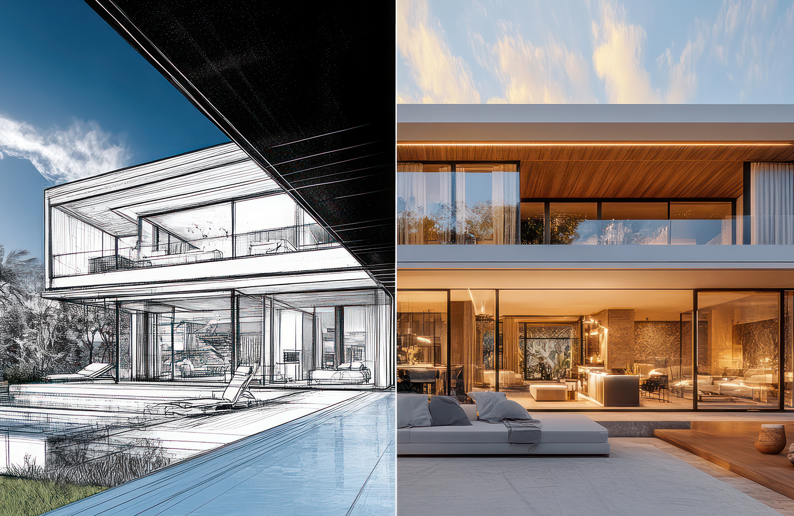
Eye level exterior renders do something different. They show façade details and what it feels like to walk up to the building. Interior renders show finishes, layouts, and daily life inside each home.
These formats work best together. A campaign might open with an aerial view, move to the street, and finish in the kitchen.
Many developers use exterior rendering services for both aerial and eye level views, so the materials and lighting stay consistent across the set. Choose views based on what buyers, investors, or other stakeholders need to understand.
Where Developers Can Use Aerial Renders
Aerial images are useful across the whole development lifecycle.
They appear on property websites, in off the plan campaigns, and in project brochures. They suit sales suite screens and investor presentations, where scale needs to land quickly. They can support planning presentations where appropriate, and they adapt easily for digital advertising.
A consistent aerial image gives buyers, investors, agents, and council officers the same clear picture.
The image can be cropped or reformatted for different uses. But the original scene should stay consistent with the approved project information, so nothing is misrepresented along the way.
An aerial render is a communication tool. It helps people understand a project, but it can’t guarantee sales or planning approval on its own.
How to Create Accurate and Compelling Site Context Rendering
Good site context rendering starts with good information.
Most providers will need architectural drawings, site plans, landscape plans, survey information, and reference imagery such as site photos or drone footage.
The site then needs to be modelled correctly, with surrounding buildings at the right scale. The viewpoint should be chosen to explain the project clearly, and the image should be reviewed against the latest design before it’s finalised.
It’s also worth confirming the status of everything in the scene. Is that nearby road existing, approved, proposed, or purely illustrative? The same goes for parks, landscaping, and future stages.
Experienced 3d visualisation services balance presentation quality with project accuracy. Agree on how the image will be used before production begins.
Frequently Asked Questions
What is aerial 3D rendering used for?
It shows a development and its surroundings from above. Developers use it for marketing, investor presentations, launches, and explaining site layout and neighbourhood context.
How is aerial architectural rendering different from a site plan?
An aerial architectural rendering communicates the project visually. A site plan is a technical drawing with formal information like dimensions, setbacks, and levels.
Can aerial renders show the surrounding neighbourhood?
Sometimes. It depends on what the council has asked for. If specific viewpoints are required, a render may not meet that request on its own.
Are aerial renders useful for off the plan property marketing?
Yes. They help buyers understand the site, layout, and location before construction, especially for apartment complexes and masterplanned communities.
What information is needed to create an aerial view render?
Typically architectural drawings, site and landscape plans, survey data, and reference photos or drone footage of the site and its surroundings.
Conclusion
Strong aerial rendering sells the bigger picture. It shows how a development fits into its neighbourhood, not just what the building looks like. Choose 3D site visualisation that communicates both the project and its context clearly.
Planning a new development? Get in touch with Ecompapi Studio to discuss aerial rendering for your next project.